Edit Content
Click on the Edit Content button to edit/add the content.
Discover Deep South Aero

Professional Drone Photography & Videography

Delivering stunning aerial visuals and precise drone solutions to elevate real estate, construction, inspections, and more.

Aerial Photography

Showcase properties, landscapes, or events with stunning, high-resolution aerial shots.

Aerial Videography

Bring stories to life with cinematic 4K drone videos designed to impress.

Live Mapping

Capture precise topographic data and real-time maps for smarter decisions.

who we are

About Deep South Aero

Capturing the Sky Since 2020

We elevate visual storytelling with cutting-edge drone technology

The Deep South Aero Difference

Elevating Visual Storytelling with Professional Drone Services

We combine cutting-edge drone technology with creative expertise to deliver breathtaking visuals, accurate data, and solutions tailored to your industry needs.

Federal Aviation Administration (FAA) – USA

Fully FAA-certified for commercial drone operations, ensuring safe and legal aerial services across the United States.

Civil Aviation Authority (CAA) – UK

Approved by the CAA, giving client’s confidence that every flight meets strict UK aviation standards.

European Union Aviation Safety Agency (EASA) – EU

EASA-compliant operations guarantee secure and regulated drone flights across European airspace.

CASA (Civil Aviation Safety Authority) – Australia

CASA-licensed to deliver professional drone services while adhering to Australia’s highest safety and compliance rules.

Projects completed.
0 +
From real estate to construction mapping, we’ve successfully delivered diverse aerial solutions across industries.
Aerial Shots Captured.
0 K+

Every image tells a story, capturing precision, creativity, and perspectives you can’t see from the ground.

Client Satisfaction
0 %
Safety and professionalism come first, giving clients complete confidence in every flight.
featured drone

About Deep South Fleet

Photo Quality - 20 MP

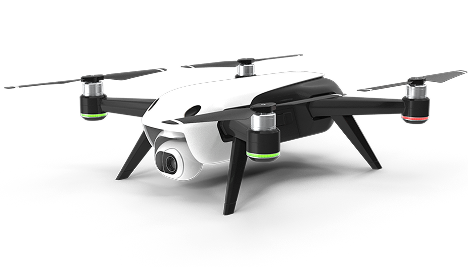
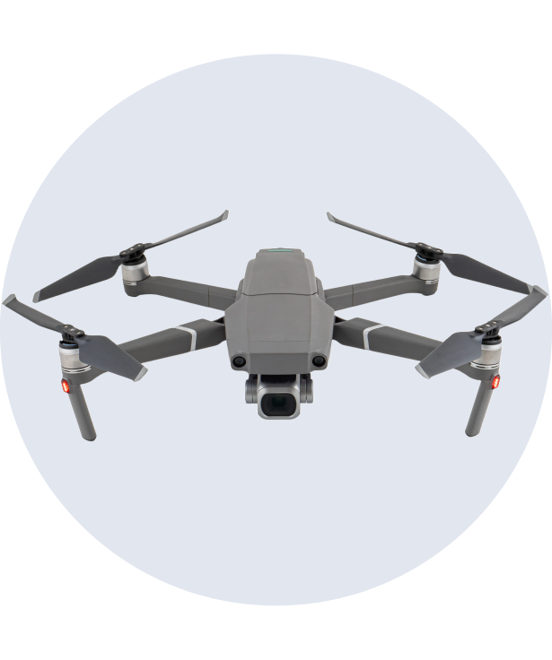
Capture every detail with a high-resolution 20 MP camera for crisp and vibrant shots

Video Quality - 4K @60fps

Record ultra-smooth 4K @60fps footage with rich colors and cinematic-level clarity.

Flight Time - 32 min

Stay airborne for up to 32 minutes, ensuring longer and more dynamic aerial captures

Flight Range - 7 km

Fly confidently with a 7 km transmission range for stable, long-distance exploration

Photo Quality - 48 MP

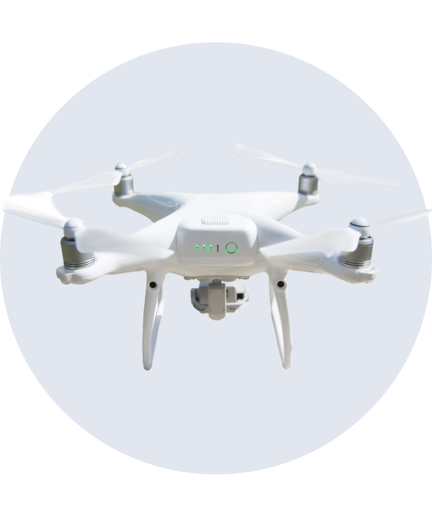
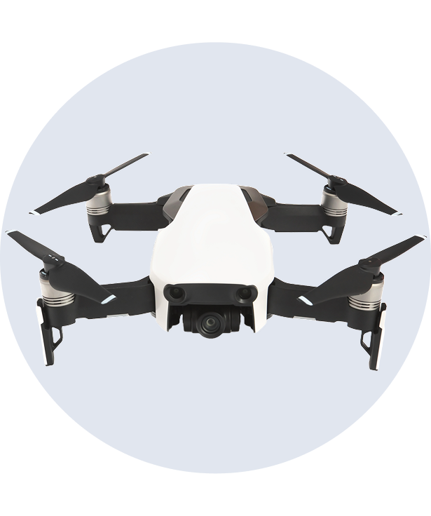
Capture stunning 48 MP images with rich details and vibrant colors for any scene.

Video Quality - 4K @60fps

Shoot ultra-smooth 4K video at 60fps with HDR support for cinematic visuals

Flight Time - 34 min

Enjoy extended 34-minute flight time for capturing more dynamic aerial content

Flight Range - 10 km

Experience stable, long-distance flights with a reliable 10 km transmission range.

Photo Quality - 12 MP

Capture precise 12 MP images, ideal for industrial and mapping applications

Video Quality - 4K @30fps

Record high-quality 4K footage at 30fps with advanced stability and clarity

Flight Time - 55 min

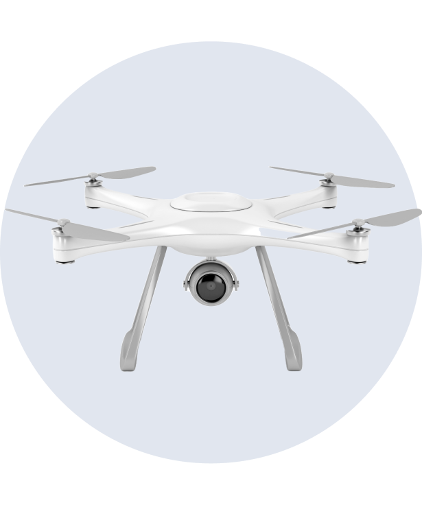
Maximize efficiency with an impressive 55-minute flight time for long operations

Flight Range - 15 km

Cover vast distances with a 15 km range, ensuring reliable performance in any mission

Photo Quality - 20 MP

Take sharp and detailed 20 MP aerial images with Hasselblad’s advanced sensor

Video Quality - 5.1K @50fps

Capture professional 5.1K footage at 50fps for stunning cinematic quality

Flight Time - 46 min

Stay in the air longer with a 46-minute flight time for uninterrupted creativity

Flight Range - 15 km

Explore further with a 15 km transmission range for stable and clear connections

From the Sky: Latest Captures

The Story Behind Our Shots

AERIAL PHOTOGRAPHY - OCTOBER 19, 2024

Bring properties to life with high-quality aerial shots that showcase every angle. From sweeping neighborhood views to detailed exterior captures, our drone photography makes real estate listings stand out.

AERIAL VIDEOGRAPHY - NOVEMBER 21, 2024

Enjoy the ease of a 24-hour virtual tour. See the floor plan of your project or real estate offering. Walk every step as you see each inch of your floor plan. This offering offers you the solution you are looking for.

AERIAL VIDEOGRAPHY - NOVEMBER 21, 2024

Conduct safe, efficient, and precise inspections with cinematic aerial footage. Our drones provide clear visuals for hard-to-reach areas, saving time while ensuring accuracy and reliability.

From the Sky: Latest Captures

The Story Behind Our Shots

Real-estate

AERIAL PHOTOGRAPHY - OCTOBER 19, 2024

Bring properties to life with high-quality aerial shots that showcase every angle. From sweeping neighborhood views to detailed exterior captures, our drone photography makes real estate listings stand out.

Inspection

AERIAL VIDEOGRAPHY - NOVEMBER 21, 2024

Conduct safe, efficient, and precise inspections with cinematic aerial footage. Our drones provide clear visuals for hard-to-reach areas, saving time while ensuring accuracy and reliability.

Construction

LIVE MAPPING - DECEMBER 25, 2024

Track progress and analyze sites with advanced drone mapping technology. Our 3D models and aerial maps provide valuable insights for planning, monitoring, and project management.

our gallery

deep south Aero Shots

See the World from a New Angle

Step into our aerial gallery and experience breathtaking perspectives that only drones can capture. From sweeping landscapes to detailed close-ups, every shot tells a unique story.

Years of Combined Expertise
0 +
What Sets Us Apart

Integrity, Diligence, Results

Top Quality

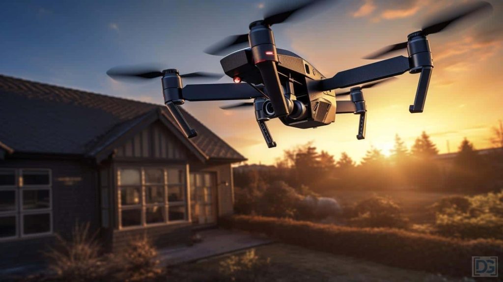
We deliver only the best. Our aerial photography and videography are captured with high-resolution equipment and refined through expert editing to ensure flawless results every time.

Creative Vision

Every project deserves a unique perspective. We approach each flight with creativity, transforming ordinary views into stunning visuals that tell your story from above.

Professional Service

From consultation to delivery, we prioritize integrity, honor, and diligence. Our team ensures smooth communication, timely results, and exceptional client care throughout every project.

Reliable Technology

Equipped with advanced drone technology, we provide accurate, stable, and safe aerial solutions. Our tools are designed to perform in diverse conditions, giving you dependable results.

We bring more than drones, we bring values. Every project is guided by professionalism and a commitment to delivering reliable aerial solutions.

Solutions & Pricing.

Your Investment in Quality

pricing is dependent upon the individual job requirements

Aerial Photography

Capture breathtaking aerial shots with high-quality photography

START FROM

$600.00

/project

Includes:

Aerial Videography

Create cinematic drone videos with high-resolution 4K footage for any use

START FROM

800.00

/project

Includes:

Live Mapping

Generate accurate aerial maps and 3D models using drone imaging tools

START FROM

$1750.00

/project

Includes:
our teams

deep south Aero Pilots

Michael Carter

Lead Drone Pilot

Aerial Photography
90%
Aerial Videography
80%
Live Mapping
100%
Daniel Foster

Aerial Cinematographer

Aerial Photography
70%
Aerial Videography
98%
Live Mapping
80%
Ryan Mitchell

Flight Operations Specialist

Aerial Photography
70%
Aerial Videography
80%
Live Mapping
87%
James Walker

Drone Imaging Expert

Aerial Photography
99%
Aerial Videography
80%
Live Mapping
88%

"The aerial shots we received were absolutely stunning. They gave our marketing campaign a professional edge and helped us attract more clients than ever before."

Rachel M.
Marketing Director

"Deep South Aero made the inspection process quick and stress-free. Their detailed drone images revealed issues we would have otherwise missed. Truly invaluable service."

David S.
Facility Manager

"From the first consultation to the final delivery, the team was professional, reliable, and easy to work with. Their drones gave us insights we didn’t think possible."

Laura P.
Event Planner

"Skydrone delivered beyond what we imagined! The aerial footage from our event was sharp, and added a whole new perspective to our coverage."

Sophia Mitchell
Event Planner

“From consultation to final delivery, Skydrone was outstanding. Their high-quality drone footage gave our documentary a stunning and amazing."

Ryan Adams
Filmmaker

"I was amazed by Skydrone’s expertise! The drone shots added a unique and breathtaking perspective to our wedding video, making it truly unforgettable."

Olivia Bennett
Wedding Photographer

"SkyDrone's mapping service was a game-changer for our construction project. The detailed aerial surveys helped us plan efficiently and avoid costly mistakes."

Michael Hayes
Construction Manager

"Our wildlife documentary needed stunning aerial shots, and SkyDrone delivered beyond expectations! The crisp footage truly captured nature’s raw beauty."

Sarah Collins
Filmmaker

"We needed high-quality drone footage for our resort in our capital city, and SkyDrone exceeded our expectations! The stunning aerial views truly showcased our paradise."

Laura Simmons
Resort Manager
book us

deep south Aero Booking

Elevate your visuals with professional drone shots, tell us your needs, and we’ll handle the rest. Whether its real estate, construction, inspections, or special projects, our team is ready to deliver with integrity and precision.

Let’s Get Started